Every journey.
A civic story.
Transit connects people to work, care, culture, and each other. Start with a question about everyday life. Follow a route into the evidence.
Find your starting point ↓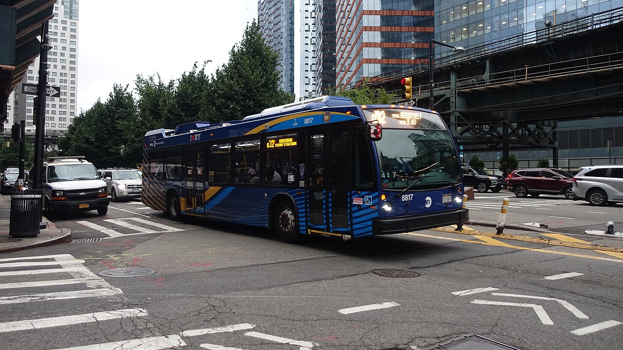
_05b.jpg)
What matters in your journey?
Three starting points. Explore one at a time.
Bay RidgeCobble Hill
MTA route geometry · scheduled variantsBrooklyn · B63 · Route exploration
What does your neighborhood need within reach?
A school run. A grocery trip. A visit to someone you care about. Local connections help make a neighborhood work.
Explore the B63 storyConnection → Civic question → Evidence
Jackson HeightsPenn Station
MTA route geometry · scheduled variantsQueens + Manhattan · Q32 · Route exploration
What connects your neighborhood to the wider city?
A river crossing is part of an everyday journey. The Q32 links Queens and Manhattan, connecting local streets to the wider city.
Explore the Q32 storyConnection → Civic question → Evidence
East HarlemSouth Ferry
MTA route geometry · scheduled variantsManhattan · M15 · Route exploration
One corridor. Whose journey are we measuring?
A short trip and an end-to-end ride share a corridor, but ask different things of the service. Start with the stop you actually use.
Explore the M15 storyConnection → Civic question → Evidence
From curiosity to civic participation
Bring your journey
into the conversation.
Start with what you experience. Compare it with what the public data shows. Use both to ask a more specific question about your neighborhood.
Explore your Council district Start with your neighborhood ↗Sources & what these stories can tell us
These are editorial route explorations based on the MTA static GTFS snapshot, not rider interviews or findings about service quality. Diagrams show published route geometry and scheduled variants, with north at the top; each diagram has its own scale. They are not walking or navigation maps.
Live observations and nearby OpenStreetMap places are available in route profiles. Check their timestamps and coverage before drawing conclusions.
Inspect the sources · Understand the evidence